
The Island That Appears On Maps But Does Not Exist
Sandy Island was on Google Maps until 2012. Sailors went to find it and found only ocean.
Reviewed by the CurioVault curator · 8 October 2026 · Editorial standards
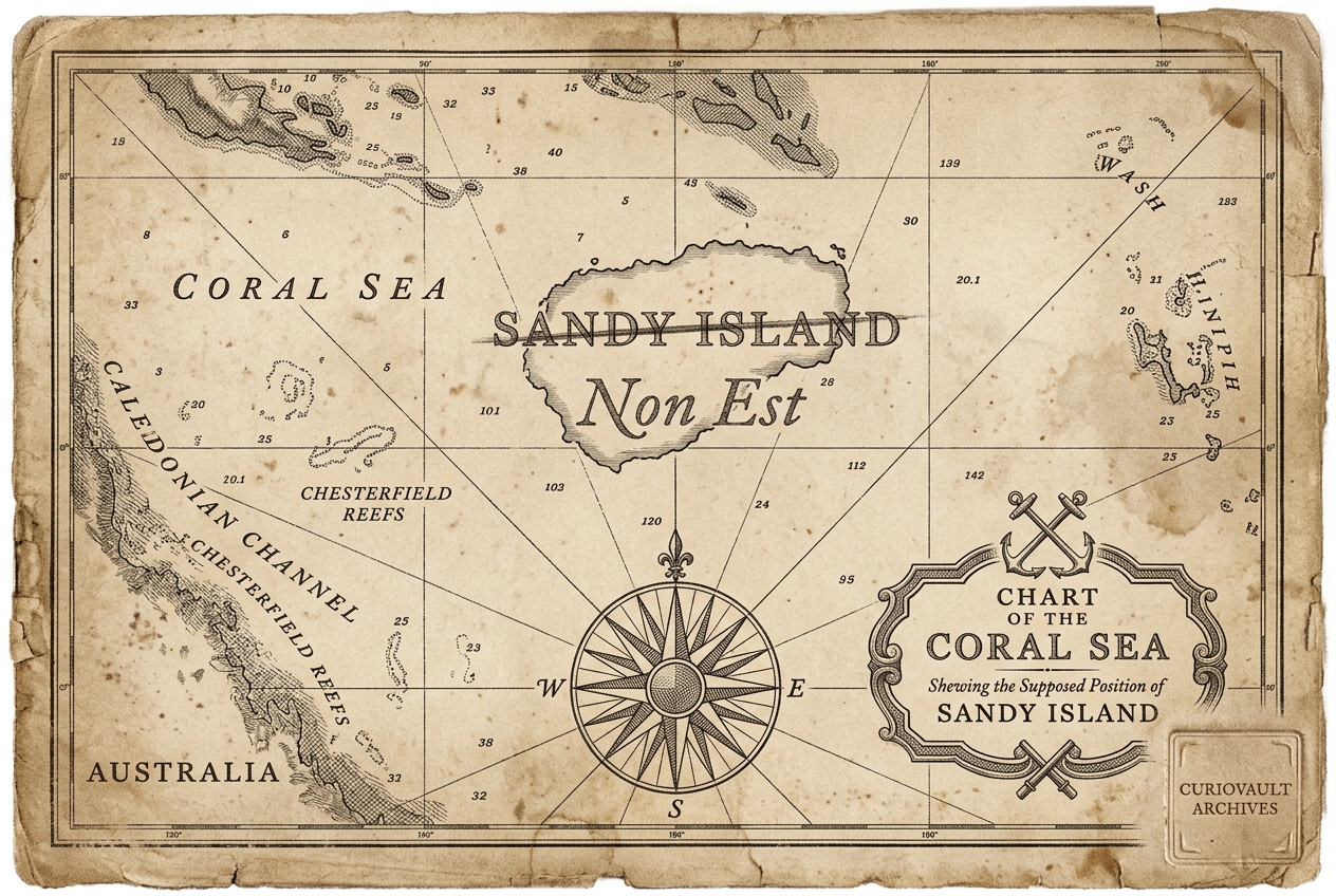
Sandy Island in the Pacific appeared on maps from 1774 to 2012, including Google Maps. The Australian research vessel Southern Surveyor sailed to its coordinates in 2012 and found 1,400m deep ocean. It was likely a phantom island from Cook's era copied for centuries. For 238 years, we mapped an island that never existed.
Sources & Further Reading
Connected Curiosities
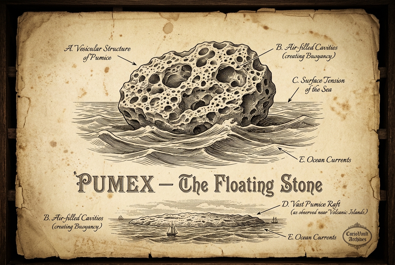
Pumice Is The Only Rock That Floats
It can form floating islands the size of Belgium.
The Star That Shouldn't Be Possible
Tabby's Star dims by 22% with no pattern — and no explanation has ever fit.
The Void So Big It Shouldn't Exist
A stretch of space 250 million light-years wide holds almost nothing at all.
This curio is written in original words for CurioVault. Facts themselves are not copyrightable, but our wording is. If you reuse, please credit CurioVault.co.